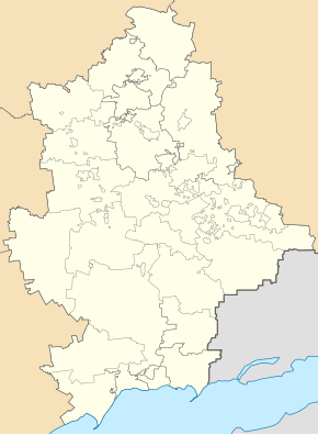
Oleksiyevo-Druzhkivka
| Oleksiyevo-Druzhkivka | ||
| Олексієво-Дружківка | ||

|
|
|
| Basic data | ||
|---|---|---|
| Oblast : | Donetsk Oblast | |
| Rajon : | Druzhkivka district | |
| Height : | 84 m | |
| Area : | Information is missing | |
| Residents : | 7,625 (2015) | |
| Postcodes : | 84293 | |
| Area code : | +380 6267 | |
| Geographic location : | 48 ° 35 ' N , 37 ° 37' E | |
| KOATUU : | 1411745300 | |
| Administrative structure : | 1 urban-type settlement | |
| Address: | вул. Серго 16 84293 смт. Олексієво-Дружківка |
|
| Statistical information | ||
|
|
||
Oleksijewo-Druschkiwka ( Ukrainian Олексієво-Дружківка ; Russian Алексеево-Дружковка Alexejewo-Druschkowka ) is an urban-type settlement in the east of the Ukrainian Donetsk Oblast with about 7600 inhabitants.
The village is located on the bank of the Kryvyi Torez about 10 km southeast of the city of Druzhkivka and 84 km north of Donetsk . The N 20 road runs through the settlement .
Oleksijewo-Druzhkivka has been an urban-type settlement since 1938 and forms its own settlement council within the urban district of the city of Druhkivka.
sons and daughters of the town
- Natalija Kočergina (* 1985), Lithuanian cross-country skier and biathlete
Individual evidence
- ↑ Demography of Ukrainian cities on pop-stat.mashke.org

