Rajhorodok
| Rajhorodok | ||
| Райгородок | ||

|
|
|
| Basic data | ||
|---|---|---|
| Oblast : | Donetsk Oblast | |
| Rajon : | Sloviansk district | |
| Height : | 62 m | |
| Area : | Information is missing | |
| Residents : | 3,473 (2016) | |
| Postcodes : | 84150 | |
| Area code : | +380 6262 | |
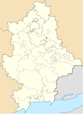
| Geographic location : | 48 ° 54 ' N , 37 ° 43' E | |
| KOATUU : | 1424256200 | |
| Administrative structure : | 2 SsT , 2 villages | |
| Address: | вул. 1-го Травня 4 84150 смт. Райгородок |
|
| Statistical information | ||
|
|
||
Rajhorodok ( Ukrainian Райгородок ; Russian Райгородок Raigorodok ) is an urban-type settlement in Donetsk Oblast in eastern Ukraine with about 3500 inhabitants (2016).
Since November 15, 1938 Rajhorodok has the status of an urban-type settlement and is the administrative center of the settlement council homonymous municipality, urban to even the settlement type Donezke and villages Karpiwka ( Карпівка ) and Selesniwka ( Селезнівка ) belong.
Rajhorodok is located in the north of Donetsk Oblast on the territorial road T-05-14 and at the confluence of the Kasennyj Torez in the Siwerskyj Donets , 123 kilometers north of the Donetsk Oblast center and 12 kilometers northeast of the center of the city of Slovyansk .
Web links
- Location information (Ukrainian)
Individual evidence
- ↑ Population of Ukrainian cities on pop-stat.mashke.org
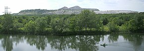
Industrial landscape in Rajhorodok


