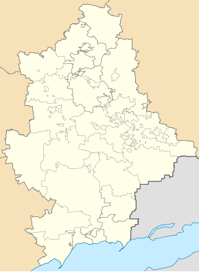
Hrusko-Sorjanske
| Hrusko-Sorjanske | ||
| Грузько-Зорянське | ||

|
|
|
| Basic data | ||
|---|---|---|
| Oblast : | Donetsk Oblast | |
| Rajon : | Makiyivka District | |
| Height : | 125 m | |
| Area : | Information is missing | |
| Residents : | 1,395 (2011) | |
| Postcodes : | 86195 | |
| Area code : | +380 6232 | |
| Geographic location : | 47 ° 57 ' N , 38 ° 5' E | |
| KOATUU : | 1413569300 | |
| Administrative structure : | 5 urban-type settlements , 1 settlement | |
| Mayor : | Olena Uvarova | |
| Address: | вул. Центральна 13 86195 смт. Грузько-Зорянське |
|
| Statistical information | ||
|
|
||
Hrusko-Sorjanske (Ukrainian Грузько-Зорянське ; Russian Грузско-Зорянское / Grusko-Sorjanskoje ) is an urban-type settlement in eastern Ukraine in Donetsk Oblast with about 1,300 inhabitants.
geography
The urban-type settlement is located in the Donets Basin , about 15 kilometers east of the Donetsk Oblast center and 14 kilometers southeast of the city center of Makiyivka , to whose urban district it belongs. The river Hruska (Грузька) flows through the place, the railway line from Makijiwka to Mospine runs through the place.
The settlement council of Hrusko-Sorjanske, which is administratively assigned to the Stadtrajon Hirnyz within Makijiwka, also includes the urban-type settlements Wyssoke , Hrusko-Lomiwka , Meschowe and Mayak as well as the settlement Cholmyste (Ukrainian Холмисте ).
history
The place was built before the 19th century and was initially called Sorjanski (Зорянский), in 1938 Hrusko-Sorjanske got the status of an urban-type settlement, since summer 2014 the place has been occupied by separatists from the Donetsk People's Republic during the Ukraine War.

