Pantelejmonivka
| Pantelejmonivka | ||
| Пантелеймонівка | ||

|
|
|
| Basic data | ||
|---|---|---|
| Oblast : | Donetsk Oblast | |
| Rajon : | District of Horliwka | |
| Height : | 180 m | |
| Area : | Information is missing | |
| Residents : | 7,878 (2013) | |
| Postcodes : | 84694 | |
| Area code : | +380 6242 | |
| Geographic location : | 48 ° 12 ' N , 37 ° 59' E | |
| KOATUU : | 1410666700 | |
| Administrative structure : | 1 urban-type settlement , 1 village | |
| Mayor : | Switlana Reutova | |
| Address: | вул. Сердюкова 12 84694 смт. Пантелеймонівка |
|
| Statistical information | ||
|
|
||
Pantelejmoniwka ( Ukrainian Пантелеймонівка ; Russian Пантелеймоновка Panteleimonovka ) is an urban-type settlement in eastern Ukraine in Donetsk Oblast with about 7,800 inhabitants.
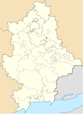
The urban-type settlement is located on the Siversky Donets-Donbass Canal in the south of the urban area of Horlivka , about 11 kilometers from the city center and 27 kilometers north of the Donetsk Oblast Center.
Administratively, the place belongs to the municipality of Horliwka and forms a separate settlement council here together with the village of Ryazne ( Рясне ) as part of the Zentralne-Misto urban area.
The place was founded in 1876 as a settlement around a railway station, which was named in honor of Saint Pantaleon and has had the status of an urban-type settlement since 1938. During the war in Ukraine , the place was occupied by separatists from the Donetsk People's Republic in August 2014 .
Web links

