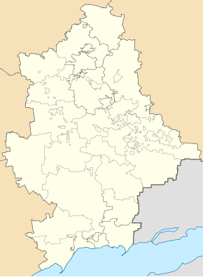
Starobesheve
| Starobesheve | ||
| Старобешеве | ||

|
|
|
| Basic data | ||
|---|---|---|
| Oblast : | Donetsk Oblast | |
| Rajon : | Starobesheve district | |
| Height : | 135 m | |
| Area : | Information is missing | |
| Residents : | 6,197 (2016) | |
| Postcodes : | 87200 | |
| Area code : | +380 6253 | |
| Geographic location : | 47 ° 45 ' N , 38 ° 2' E | |
| KOATUU : | 1424555100 | |
| Administrative structure : | 1 urban-type settlement | |
| Address: | пл. Леніна 6 87200 смт. Старобешеве |
|
| Statistical information | ||
|
|
||
Starobeschewe ( Ukrainian Старобешеве ; Russian Старобешево Starobeschewo ) is an urban-type settlement in Donetsk Oblast in eastern Ukraine with 6,200 inhabitants (2016).
Starobeschewe is located in the Donets Basin 36 kilometers southeast of the Donetsk Oblast Center . North of the village is located on the banks of the Starobeschewer reservoir dammed Kalmius the thermal power plant Starobesheve . Starobeschewe is the administrative seat of the Rajon of the same name .
The place, founded in 1779, was called the Beschewe until 1896 , it has had the status of an urban-type settlement since 1958, and since August 2014 the settlement has been in the hands of pro-Russian separatists as a result of the war in Ukraine .
population
| 1959 | 1970 | 1979 | 1989 | 2001 | 2016 |
|---|---|---|---|---|---|
| 5,762 | 6,906 | 7,986 | 7,649 | 7.184 | 6,197 |
Swell:
Personalities
- Praskowja Angelina (1913–1959), Soviet model worker
Web links
- Information portal of Donetsk Oblast - City history Starobesheve (Ukrainian)
- Official site of Starobesheve Raion (Russian)
Individual evidence
- ↑ a b Demography of Ukrainian cities on pop-stat.mashke.org

