Krasnotorka
| Krasnotorka | ||
| Красноторка | ||

|
|
|
| Basic data | ||
|---|---|---|
| Oblast : | Donetsk Oblast | |
| Rajon : | Kramatorsk City District | |
| Height : | 97 m | |
| Area : | 2.765 km² | |
| Residents : | 2,995 (2013) | |
| Population density : | 1,083 inhabitants per km² | |
| Postcodes : | 84395 | |
| Area code : | +380 626 | |
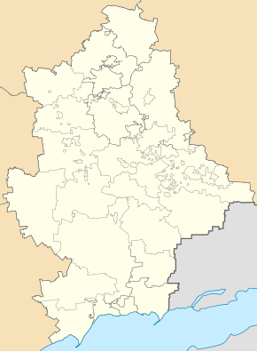
| Geographic location : | 48 ° 41 ' N , 37 ° 32' E | |
| KOATUU : | 1412946200 | |
| Administrative structure : | 3 urban-type settlements , 1 village | |
| Mayor : | Volodymyr Azaryantz | |
| Address: | вул. Бєлгородська 97 84395 смт. Красноторка |
|
| Statistical information | ||
|
|
||
Krasnotorka (Ukrainian and Russian Красноторка ) is an urban-type settlement in the center of the Ukrainian Donetsk Oblast with about 3,000 inhabitants.
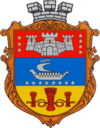
The village was established at the end of the 18th century and received urban-type settlement status in 1938. A train station was opened in the village in 1927, and the village has had a coat of arms since 1999.
Krasnotorka is located about 5 kilometers south of Kramatorsk , to whose urban district it belongs administratively, and about 82 kilometers northeast of the Donetsk Oblast Center. The settlement councils of the same name also include the urban-type settlements Komyschuwacha , Malotaraniwka and the village of Prywillja ( Привілля ). The Kasennyj Torez flows through the place.
Web links
- Information on the history of the place (Russian)
Individual evidence


