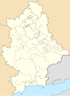
Novotrojitske (Wolnowacha)
| Novotrojitske | ||
| Новотроїцьке | ||

|
|
|
| Basic data | ||
|---|---|---|
| Oblast : | Donetsk Oblast | |
| Rajon : | Wolnovacha district | |
| Height : | 186 m | |
| Area : | Information is missing | |
| Residents : | 7,093 (2011) | |
| Postcodes : | 85732 | |
| Area code : | +380 6244 | |
| Geographic location : | 47 ° 43 ' N , 37 ° 35' E | |
| KOATUU : | 1421556800 | |
| Administrative structure : | 1 urban-type settlement | |
| Mayor : | Olexandr Vorozhbyt | |
| Address: | пров. Комсомольський 6 85732 смт. Новотроїцьке |
|
| Website : | http://radanov.gov.ua/ | |
| Statistical information | ||
|
|
||
Novotrojitske (Ukrainian Новотроїцьке ; Russian Новотроицкое / Novotrojizkoje ) is an urban-type settlement in eastern Ukraine in Donetsk Oblast with about 7,000 inhabitants.
The urban-type settlement is located in the northeast of Wolnovacha Raion, about 14 kilometers northeast of the Wolnovacha district center and 34 kilometers southwest of the Donetsk Oblast center on the Sucha Wolnovacha river. The N 20 road runs through the village .
The place was created by settlement efforts of the Russian Empire in 1824, a previous settlement had existed since 1773. The settlers came from the village of Trojizkoje in the Taganrog district and accordingly renamed the place to its current name. It received urban-type settlement status in 1938, and in May 2014 there was fighting in the area during the war in Ukraine .
There are large mineral rock deposits around the place, these are mined in open pits and determine the life in the place.

