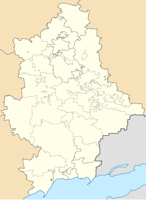
Jampil (Lyman)
| Jampil | ||
| Ямпіль | ||

|
|
|
| Basic data | ||
|---|---|---|
| Oblast : | Donetsk Oblast | |
| Rajon : | Lyman district | |
| Height : | 73 m | |
| Area : | 121.868 km² | |
| Residents : | 2,149 (2011) | |
| Population density : | 18 inhabitants per km² | |
| Postcodes : | 84461 | |
| Area code : | +380 6261 | |
| Geographic location : | 48 ° 56 ' N , 37 ° 57' E | |
| KOATUU : | 1423056400 | |
| Administrative structure : | 1 urban-type settlement , 1 village | |
| Mayor : | Serhiy Antonenko | |
| Address: | вул. Леваневського 13 84461 смт. Ямпіль |
|
| Website : | http://yampol-city.at.ua/ | |
| Statistical information | ||
|
|
||
Jampil (Ukrainian Ямпіль ; Russian Ямполь / Jampol ) is an urban-type settlement in eastern Ukraine in Donetsk Oblast with about 2,100 inhabitants.
The settlement is located on a bayou of the Seversky Donets in western Rajons Lyman , about 10 kilometers east of Rajonszentrum Lyman and 108 kilometers north of the Oblastzentrum Donetsk removed. In addition to Jampil, the village of Sakitne ( Закітне ) also belongs to the settlement council of the same name . The Kharkiv – Horlivka railway with a train station in the village runs north of the village.
The place was mentioned in writing for the first time in 1665 and received urban-type settlement status in 1938. In the course of the war in Ukraine there were fighting in the place.
Web links
Commons : Jampil - collection of images, videos and audio files
- Location information (Ukrainian)


