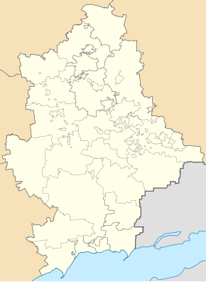
Kolosnykowe
| Kolosnykowe | ||
| Колосникове | ||

|
|
|
| Basic data | ||
|---|---|---|
| Oblast : | Donetsk Oblast | |
| Rajon : | Makiyivka District | |
| Height : | 242 m | |
| Area : | Information is missing | |
| Residents : | 611 (2011) | |
| Postcodes : | 86192 | |
| Area code : | +380 6232 | |
| Geographic location : | 48 ° 3 ' N , 38 ° 4' E | |
| KOATUU : | 1413569600 | |
| Administrative structure : | 1 urban-type settlement | |
| Mayor : | Maria Chulakova | |
| Address: | вул. Центральна 4 86192 смт. Пролетарське |
|
| Statistical information | ||
|
|
||
Kolosnykowe (Ukrainian Колосникове ; Russian Колосниково / Kolosnikowo ) is an urban-type settlement in eastern Ukraine in Donetsk Oblast with about 600 inhabitants.
geography
The urban-type settlement is located in the Donets Basin , about 16 kilometers northeast of the Donetsk Oblast Center and 7 kilometers east of the city center of Makiyivka , of which it belongs.
The place belongs to the settlement council of Proletarske (5 kilometers southeast), which is administratively assigned to the Stadtrajon Hirnyz within Makijiwka.
history
The place was only built after the Second World War, in 1965 the place was given the status of an urban-type settlement, since summer 2014 the place has been occupied by separatists of the Donetsk People's Republic during the Ukraine War.

