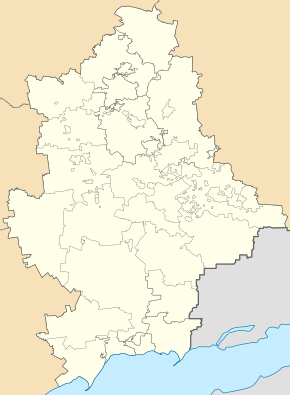
Nowomykolaivka (Druzhkivka)
| Novomykolaivka | ||
| Новомиколаївка | ||

|
|
|
| Basic data | ||
|---|---|---|
| Oblast : | Donetsk Oblast | |
| Rajon : | Druzhkivka district | |
| Height : | 88 m | |
| Area : | Information is missing | |
| Residents : | 100 (2013) | |
| Postcodes : | 84297 | |
| Area code : | +380 6267 | |
| Geographic location : | 48 ° 34 ' N , 37 ° 22' E | |
| KOATUU : | 1411745800 | |
| Administrative structure : | 1 hrs | |
| Mayor : | Wadym Levchynskyi | |
| Address: | вул. Дорошенко 1 84291 смт. Райське |
|
| Statistical information | ||
|
|
||
Novomykolajiwka (Ukrainian Новомиколаївка ; Russian Новониколаевка / Novonikolajewka ) is an urban-type settlement in the east of the Ukrainian Donetsk Oblast with about 100 inhabitants.
The place is located about 13 kilometers southwest of the city of Druhkivka and 75 kilometers north of the Oblast capital Donetsk on the river Hruska (Грузька), a tributary of the Kasennyj Torez , since 1964 it has the status of an urban-type settlement.
From an administrative point of view, it belongs to the city of Druzhivka or its sub-unit, the urban-type settlement of Rajske .
Individual evidence

