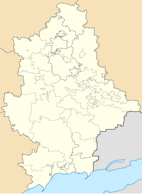
Olchowatka (Ukraine)
| Olchowatka | ||
| Ольховатка | ||

|
|
|
| Basic data | ||
|---|---|---|
| Oblast : | Donetsk Oblast | |
| Rajon : | Bachmut district | |
| Height : | 218 m | |
| Area : | Information is missing | |
| Residents : | 3,019 (2019) | |
| Postcodes : | 86490 | |
| Area code : | +380 6252 | |
| Geographic location : | 48 ° 15 ' N , 38 ° 24' E | |
| KOATUU : | 1412047600 | |
| Administrative structure : | 1 urban-type settlement , 1 village, 4 settlements | |
| Address: | вул. Советська 1 86490 смт. Ольховатка |
|
| Website : | http://olhovatka-online.ru/ | |
| Statistical information | ||
|
|
||
Olchowatka ( Ukrainian and Russian Ольховатка ) is an urban-type settlement in the east of the Ukrainian Donetsk Oblast with around 300 inhabitants (as of 2019)
Olchowatka is located about 48 kilometers northeast of the Oblast capital Donetsk near the northeastern border to the Luhansk Oblast and until December 11, 2014 it belonged administratively to the urban district of the city of Jenakieve , 18 kilometers to the west , since then as an independent municipality to Artemivsk Raion (today's Bachmut Raion ).
The settlement council of the same name also includes the village of Wessela Dolyna ( Весела Долина ) and the settlements of Danylowe ( Данилове ), Illinka ( Іллінка ), Kamjanka ( Кам'янка ) and Ridkodub ( Рідкодудкод ).
The nearest train station is in Debaltseve, 10 km north of Olchowatka.
The place was mentioned in writing for the first time in 1720 and received the status of an urban-type settlement on November 15, 1938. During the war in Ukraine , it was briefly occupied by separatists in summer 2014, but was recaptured by Ukrainian troops. Since February 2015 the place has been under the control of pro-Russian separatists of the Donetsk People's Republic .
Population development
| 1959 | 1970 | 1979 | 1989 | 2001 | 2014 | 2019 |
|---|---|---|---|---|---|---|
| 7130 | 4875 | 4342 | 4802 | 3688 | 3095 | 3019 |
Source:
Individual evidence
- ↑ a b Demographics of Ukrainian cities on pop-stat.mashke.org, accessed on August 13, 2014
- ↑ Верховна Рада України; Постанова від December 11, 2014 № 31-VIII "Про зміни в адміністративно-територіальному устрої Донецької області, зміну і встановлення меж Артемівського району Донецької області"
- ↑ Облікова картка

