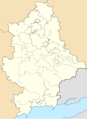
Komyschuwacha (Kramatorsk)
| Komyschuwacha | ||
| Комишуваха | ||

|
|
|
| Basic data | ||
|---|---|---|
| Oblast : | Donetsk Oblast | |
| Rajon : | Kramatorsk City District | |
| Height : | 135 m | |
| Area : | 1.408 km² | |
| Residents : | 488 (2013) | |
| Population density : | 347 inhabitants per km² | |
| Postcodes : | 84395 | |
| Area code : | +380 626 | |
| Geographic location : | 48 ° 39 ' N , 37 ° 27' E | |
| KOATUU : | 1412945900 | |
| Administrative structure : | 1 urban-type settlement | |
| Mayor : | Volodymyr Azaryantz | |
| Address: | вул. Бєлгородська 97 84395 смт. Красноторка |
|
| Statistical information | ||
|
|
||
Komyschuwacha (Ukrainian Комишуваха ; Russian Камышеваха / Kamyshevacha ) is an urban-type settlement in Donetsk Oblast in eastern Ukraine with about 450 inhabitants.
The place was founded in 1902 and has had the status of an urban-type settlement since 1962 and belongs to the settlement council of Krasnotorka , which in turn belongs to the urban district of Kramatorsk .
The settlement in the north of Donetsk Oblast on the river Balka Busowata (балка Бузовата), about 12 kilometers from the city center of Kramatorsk and 80 kilometers north of the Oblast capital Donetsk .
Individual evidence


