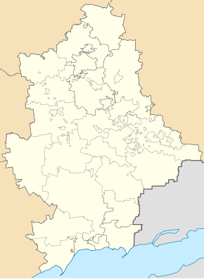
Hrafske
| Hrafske | ||
| Графське | ||

|
|
|
| Basic data | ||
|---|---|---|
| Oblast : | Donetsk Oblast | |
| Rajon : | Wolnovacha district | |
| Height : | 233 m | |
| Area : | Information is missing | |
| Residents : | 416 (2011) | |
| Postcodes : | 85725 | |
| Area code : | +380 6244 | |
| Geographic location : | 47 ° 40 ′ N , 37 ° 25 ′ E | |
| KOATUU : | 1421556500 | |
| Administrative structure : | 2 urban-type settlements | |
| Address: | вул. Ювілейна 35 85 725 смт. Благодатне |
|
| Statistical information | ||
|
|
||
Hrafske ( Ukrainian Графське ; Russian Графское Grafskoje ) is an urban-type settlement in eastern Ukraine in Donetsk Oblast with about 400 inhabitants.
The urban-type settlement is located in the north of Wolnowacha Rajons in the middle of the Velyko Anadol Forest ( Великоанадольський ліс ) and administratively belongs to the settlement council of Blahodatne . Hrafske is located about 11 kilometers northwest of the district center Wolnowacha and 44 kilometers southwest of the Oblast center Donetsk .
The village emerged from the meteorological station in the middle of the forest park, which had existed since 1852, and received the status of an urban-type settlement in 1961. Until May 19, 2016 it was called Komsomolskyj (Ukrainian Комсомольський ; Russian Комсомольский Komsomolski ) and was then renamed to Hrafske (after the founder of the forest park Wiktor Hraff / Вірктор ) in the course of decommunization in Ukraine .
Web links
- Entry on the place in the Encyclopedia of Modern Ukraine (Ukrainian)

