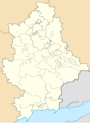
Chassiv Yar
| Chassiv Yar | ||
| Часів Яр | ||

|
|
|
| Basic data | ||
|---|---|---|
| Oblast : | Donetsk Oblast | |
| Rajon : | Bachmut district | |
| Height : | 227 m | |
| Area : | 18 km² | |
| Residents : | 13,522 (2016) | |
| Population density : | 751 inhabitants per km² | |
| Postcodes : | 84551 | |
| Area code : | +380 6274 | |
| Geographic location : | 48 ° 35 ' N , 37 ° 49' E | |
| KOATUU : | 1410370600 | |
| Administrative structure : | 1 city | |
| Address: | вул. Цілинників 1 84551 м. Часів Яр |
|
| Website : | http://chasovrada.gov.ua/ | |
| Statistical information | ||
|
|
||
Tschassiw Jar ( Ukrainian Часів Яр ; Russian Часов Яр Tschassow Jar ) is a city in the Ukrainian Donetsk Oblast with about 13,500 inhabitants (2016).
The city, founded in 1876, is located on the Siwerskyj Donets-Donbass Canal ( Канал Сіверський Донець - Донбас ) and received city status in 1938. Until September 8, 2016, she and the city of Soledar belonged to the municipality of Bachmut located 16 kilometers to the west and was then assigned to the district administration of the district of Bachmut .
sons and daughters of the town
- Iossif Davydowitsch Kobson (1937–2018), Russian singer and politician
Web links
Commons : Chassiv Yar - collection of pictures, videos and audio files
Individual evidence
- ↑ Demography of Ukrainian cities on pop-stat.mashke.org; accessed on September 16, 2016
- ↑ Верховна Рада України; Постанова, План від 09.08.2016 № 1519-VIII Про зміни в адміністративно-територіальному устрої Донецької області, зміну і встановлення меж Бахмутського району Донецької області

