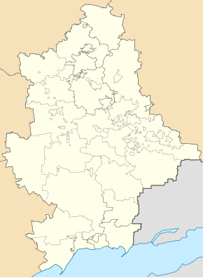
Oleksandrivka (Oleksandrivka, Donetsk)
| Oleksandrivka | ||
| Олександрівка | ||

|
|
|
| Basic data | ||
|---|---|---|
| Oblast : | Donetsk Oblast | |
| Rajon : | Oleksandrivka district | |
| Height : | no information | |
| Area : | Information is missing | |
| Residents : | 3,609 (2016) | |
| Postcodes : | 84000 | |
| Area code : | +380 6269 | |
| Geographic location : | 48 ° 42 ' N , 36 ° 55' E | |
| KOATUU : | 1420355100 | |
| Administrative structure : | 1 urban-type settlement , 7 villages | |
| Address: | вул. Радянська 15 84000 смт. Олександрівка |
|
| Statistical information | ||
|
|
||
Oleksandriwka ( Ukrainian Олександрівка ; Russian Александровка Alexandrowka ) is an urban-type settlement in the east of Ukraine in Donetsk Oblast with about 3,600 inhabitants (2016) The village is the administrative seat of the Oleksandrivka district .
geography
Oleksandriwka is located on the upper reaches of the Samara , a left tributary of the Dnieper in the northwest of the Donetsk Oblast, 130 km northwest of the Donetsk Oblast center . The place in the center of Oleksandrivka district has a railway connection.
In addition to Oleksandrivka, the settlement council also includes the villages:
- Varvariwka (Ukrainian Варварівка ) with about 330 inhabitants
- Dmytro-Darivka (Ukrainian Дмитро-Дар'ївка ) with about 280 inhabitants
- Levadne (Ukrainian Левадне ) with about 260 inhabitants
- Nadeschdiwka (Ukrainian Надеждівка ) with about 70 inhabitants
- Novopoltawka (Ukrainian Новополтавка ) with about 420 inhabitants
- Petrivka Perscha (Ukrainian Петрівка Перша ) with about 500 inhabitants
- Sofijiwka (Ukrainian Софіївка ) with about 280 inhabitants
history
The settlement was founded in 1762 and in March 1923 the district center. On October 18, 1941, Oleksandriwka was occupied by Wehrmacht troops and liberated by Red Army troops on September 12, 1943 . On May 26, 1965, the village received urban-type settlement status.
population
| 1864 | 1897 | 1923 | 1959 | 1970 | 1979 | 1989 | 2001 | 2016 |
|---|---|---|---|---|---|---|---|---|
| 502 | 879 | 1,300 | 1,776 | 3,044 | 4,251 | 4,827 | 4.216 | 3,609 |
Source: 1864-1897; from 1959
Web links
- Location information (Ukrainian)
- Page about the history of towns and villages (Russian)
- News of the region (Ukrainian)
Individual evidence
- ↑ a b Demography of Ukrainian cities on pop-stat.mashke.org
- ↑ History of the city on the oblast pages (Ukrainian)

