Oleksandriwske
| Oleksandriwske | ||
| Олександрівське | ||

|
|
|
| Basic data | ||
|---|---|---|
| Oblast : | Donetsk Oblast | |
| Rajon : | Bachmut district | |
| Height : | 215 m | |
| Area : | Information is missing | |
| Residents : | 1,609 (2013) | |
| Postcodes : | 86488 | |
| Area code : | +380 6252 | |
| Geographic location : | 48 ° 16 ' N , 38 ° 17' E | |
| KOATUU : | 1412045300 | |
| Administrative structure : | 4 urban-type settlements | |
| Mayor : | Olexandr Plitan | |
| Address: | пров. Советський 2 86487 смт. Булавинське |
|
| Statistical information | ||
|
|
||
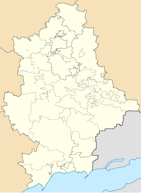
Oleksandriwske ( Ukrainian Олександрівське ; Russian Александровское Alexandrovskoje ) is an urban-type settlement in the east of the Ukrainian Donetsk Oblast with about 1,600 inhabitants. The place is 42 kilometers southeast of the Rajons capital Bachmut and 45 kilometers northeast of the Oblast capital Donetsk .
Oleksandriwske was built in 1947 as a workers' settlement for the nearby coal deposits, which were discovered in 1938. During the war in Ukraine , it was briefly occupied by separatists in the summer of 2014, but they were driven out again by the Ukrainian army.Since February 2015, after the end of the battle for Debaltseve, the place has been under the control of pro-Russian separatists from the Donetsk People's Republic .
Until December 11, 2014, the settlement belonged administratively to the city of Jenakijewe and was then attached to today's Bachmut Rajon .
Together with the urban-type settlements Prybereschne , Oleniwka and Bulawynske, it forms the Bulawynske settlement council.

