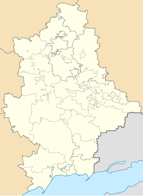
Svyatohorivka
| Svyatohorivka | ||
| Святогорівка | ||

|
|
|
| Basic data | ||
|---|---|---|
| Oblast : | Donetsk Oblast | |
| Rajon : | Dobropillia district | |
| Height : | 129 m | |
| Area : | Information is missing | |
| Residents : | 1,908 (2016) | |
| Postcodes : | 85020 | |
| Area code : | +380 6277 | |
| Geographic location : | 48 ° 29 ' N , 37 ° 2' E | |
| KOATUU : | 1422055500 | |
| Administrative structure : | 1 urban-type settlement , 5 villages | |
| Address: | вул. Поштова 10 85020 смт. Святогорівка |
|
| Statistical information | ||
|
|
||
Swjatohoriwka ( Ukrainian Святогорівка ; Russian Святогоровка Swjatogorowka ) is an urban-type settlement in the northwest of the Ukrainian Donetsk Oblast with about 1900 inhabitants.
Svyatohorivka, previously called Shtepino , has been an urban-type settlement since 1964 and the administrative center of the settlement council of the same name in Dobropillja district .
The village borders the northeast of the urban area of Dobropillja and stretches in an east-west direction on both sides of the bank of the Byk ( Бик ), a 108 km long left tributary of the Samara . Territorial road T – 05–15 runs through the settlement in a north-south direction .
local community
The following villages belong to the Svyatohorivka settlement council with a total of around 3400 inhabitants:
- Viktorivka ( Вікторівка ⊙ ) with about 25 inhabitants
- Wiriwka ( Вірівка ⊙ ) with about 650 inhabitants
- Kopani ( Копані ⊙ ) with about 220 inhabitants
- Novowiktoriwka ( Нововікторівка ⊙ ) with about 50 inhabitants and
- Nowoukrajinka ( Новоукраїнка ⊙ ) with about 350 inhabitants.
Sons and daughters of the village
- Viktor Michailowitsch Schdanow (1914–1987), Soviet virologist
Web links
Individual evidence
- ↑ Demography of Ukrainian cities on pop-stat.mashke.org


