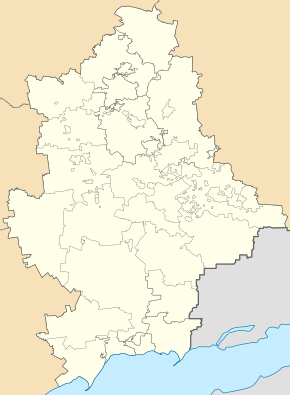
Hrodivka
| Hrodivka | ||
| Гродівка | ||

|
|
|
| Basic data | ||
|---|---|---|
| Oblast : | Donetsk Oblast | |
| Rajon : | Pokrovsk Raion | |
| Height : | 142 m | |
| Area : | Information is missing | |
| Residents : | 2,628 (2011) | |
| Postcodes : | 85345 | |
| Area code : | +380 623 | |
| Geographic location : | 48 ° 15 ' N , 37 ° 23' E | |
| KOATUU : | 1422755300 | |
| Administrative structure : | 1 urban-type settlement , 6 villages | |
| Mayor : | Lyudmyla Rudenko | |
| Address: | вул. Донецька 97 85345 смт. Гродівка |
|
| Statistical information | ||
|
|
||
Hrodiwka (Ukrainian Гродівка ; Russian Гродовка / Grodowka ) is an urban-type settlement in the Ukrainian Donetsk Oblast .
The town is the administrative center of the settlement council Municipality in Rajon Pokrowsk to which even the villages of Krasny Yar ( Красний Яр ) Krutyj Jar ( Крутий Яр ) Mykolaivs'ka ( Миколаївка ) Moskowske ( Московське ) Promin (Промінь) and Schurawka ( Журавка ) belong.
Hrodiwka is a neighbor of Myrnohrad and lies on the river Schurawka (Журавка) west of the source of the Kasennyj Torez , a right tributary of the Seversky Donets , 48 kilometers northwest of Oblastzentrum Donetsk and 17 kilometers east of Rajonzentrum Pokrowsk . Territorial road T – 05–11 runs through the village .
The place was founded in the 1770s, the first settlers were freed serfs. In 1939 a workers' settlement for a coal mine was built south of the village, which was named Nowohrodiwka .
Since 1956 the village has had the status of an urban-type settlement, during the fighting in the course of the war in Ukraine there were several rocket attacks on the place in the winter of 2015.
Web links
- Location information (Ukrainian)
Individual evidence
- ↑ Central Electoral Commission of Ukraine ( Memento of the original from June 27, 2016 in the Internet Archive ) Info: The archive link was inserted automatically and has not yet been checked. Please check the original and archive link according to the instructions and then remove this notice.

