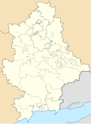
Novodonetske
| Novodonetske | ||
| Новодонецьке | ||

|
|
|
| Basic data | ||
|---|---|---|
| Oblast : | Donetsk Oblast | |
| Rajon : | Dobropillja district | |
| Height : | 132 m | |
| Area : | 2.73 km² | |
| Residents : | 5,775 (2019) | |
| Population density : | 2,115 inhabitants per km² | |
| Postcodes : | 85010 | |
| Area code : | +380 6277 | |
| Geographic location : | 48 ° 38 ' N , 36 ° 59' E | |
| KOATUU : | 1411545600 | |
| Administrative structure : | 1 urban-type settlement | |
| Address: | вул. Московська 3 85010 смт. Новодонецьке |
|
| Statistical information | ||
|
|
||
Novodonetske ( Ukrainian Новодонецьке ; Russian Новодонецкое Novodonetskoye ) is an urban-type settlement in the northwest of the Ukrainian Donetsk Oblast with about 5800 inhabitants.
The village, which was founded in 1956 in connection with the construction of a mine, has been an urban-type settlement since 1960 and forms its own settlement council within the urban district of Dobropillja.
Novodonetske is located on the banks of the Vodjana ( Водяна ), a 28 km long tributary of the Samara 24 km north of the city of Dobropillja and 115 km northwest of Donetsk . Territorial road T – 05–15 runs through the settlement .
Individual evidence
- ↑ Demographics of Ukrainian cities on pop-stat.mashke.org, accessed on December 13, 2019

