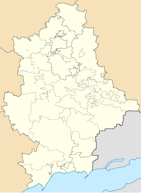
Jasnohirka
| Jasnohirka | ||
| Ясногірка | ||

|
|
|
| Basic data | ||
|---|---|---|
| Oblast : | Donetsk Oblast | |
| Rajon : | Kramatorsk City District | |
| Height : | 83 m | |
| Area : | 12 km² | |
| Residents : | 8,273 (2014) | |
| Population density : | 689 inhabitants per km² | |
| Postcodes : | 84391 | |
| Area code : | +380 626 | |
| Geographic location : | 48 ° 46 ' N , 37 ° 33' E | |
| KOATUU : | 1412947700 | |
| Administrative structure : | 1 urban-type settlement | |
| Address: | вул. Миколаївська 165 84391 м. Краматорськ, сел. Ясногірка |
|
| Statistical information | ||
|
|
||
Jasnohirka ( Ukrainian Ясногірка ; Russian Ясногорка Jasnogorka ) is an urban-type settlement in the center of the Ukrainian Donetsk Oblast with around 8,200 inhabitants (2014).
Jasnohirka received the status of an urban-type settlement in 1938 and is the only place in the settlement council of the same name. Jasnohirka located on the left bank of the Kasennyj Torez about 100 km northeast of the Oblastzentrum Donetsk and 5 kilometers north of Kramatorsk , it belongs administratively to the city circle. At the site over which runs highway N 20 .
Individual evidence
- ↑ Demographics of Ukrainian cities on pop-stat.mashke.org, accessed on May 14, 2014

