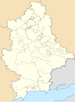
Olhynka
| Olhynka | ||
| Ольгинка | ||

|
|
|
| Basic data | ||
|---|---|---|
| Oblast : | Donetsk Oblast | |
| Rajon : | Wolnovacha district | |
| Height : | 228 m | |
| Area : | Information is missing | |
| Residents : | 3,269 (2011) | |
| Postcodes : | 85730 | |
| Area code : | +380 6244 | |
| Geographic location : | 47 ° 42 ' N , 37 ° 30' E | |
| KOATUU : | 1421557200 | |
| Administrative structure : | 1 urban-type settlement , 2 villages | |
| Address: | вул. Маяковського 32 85 730 смт. Ольгинка |
|
| Statistical information | ||
|
|
||
Olhynka ( Ukrainian Ольгинка ; Russian Ольгинка Olginka ) is an urban-type settlement in eastern Ukraine in Donetsk Oblast with about 3,200 inhabitants.
The urban-type settlement is located in the north of Wolnovacha district , about 10 kilometers north of the Wolnovacha district center and 39 kilometers southwest of the Donetsk Oblast center on the Sucha Wolnovacha river. The N 20 road runs through the village and the railway line from Donetsk to Mariupol to the west .
The villages of Lisne ( Лісне ) and Pilne ( Пільне ) also belong to the settlement council of the same name .
The place was mentioned in writing for the first time in 1779 and received urban-type settlement status in 1938. Until 1959 it was also the center of the Olhynka Rajon of the same name , in 2014 there were fighting at the place during the war in Ukraine .

