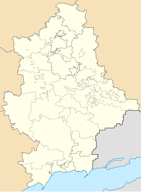
Rodynske
| Rodynske | ||
| Родинське | ||

|
|
|
| Basic data | ||
|---|---|---|
| Oblast : | Donetsk Oblast | |
| Rajon : | Pokrovsk urban district | |
| Height : | 190 m | |
| Area : | 3 km² | |
| Residents : | 10,641 (2014) | |
| Population density : | 3,547 inhabitants per km² | |
| Postcodes : | 85310 | |
| Area code : | +380 6239 | |
| Geographic location : | 48 ° 21 ' N , 37 ° 13' E | |
| KOATUU : | 1413270600 | |
| Administrative structure : | 1 city | |
| Address: | вул. Краснолиманська 23 85310 м. Родинське |
|
| Website : | http://www.krasn-rada.gov.ua/city/rodinskoe | |
| Statistical information | ||
|
|
||
Rodynske ( Ukrainian Родинське ; Russian Родинское Rodinskoje ) is a city in the Ukrainian Donetsk Oblast with about 10,000 inhabitants (2014).
The mining town in Donbas was founded in 1950 and is located on the T – 05–15 territorial road . Rodynske received city status in 1962 and administratively belongs to the urban district of Pokrovsk, 11 km to the north . The town of Dobropillja is located 21 km north-north-west of Rodynske.
Web links
Commons : Rodynske - collection of images, videos and audio files
Individual evidence
- ↑ Demography of Ukrainian cities on pop-stat.mashke.org; accessed on March 16, 2015

