Yalta (Manhush)
| Yalta | ||
| Ялта | ||

|
|
|
| Basic data | ||
|---|---|---|
| Oblast : | Donetsk Oblast | |
| Rajon : | Manhush district | |
| Height : | 40 m | |
| Area : | 9.588 km² | |
| Residents : | 5,321 (2011) | |
| Population density : | 555 inhabitants per km² | |
| Postcodes : | 87450 | |
| Area code : | +380 6297 | |
| Geographic location : | 46 ° 58 ′ N , 37 ° 16 ′ E | |
| KOATUU : | 1423955500 | |
| Administrative structure : | 1 urban-type settlement , 2 villages | |
| Address: | вул. Радянська 21 87450 смт. Ялта |
|
| Statistical information | ||
|
|
||
Yalta ( Ukrainian and Russian Ялта ) is an urban-type settlement in the eastern part of the Ukrainian Donetsk Oblast with about 5300 inhabitants.
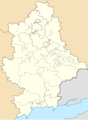
The urban-type settlement is located in the south of the Rajons Manhusch , about 13 kilometers south of Rajonszentrum Manhusch and 119 kilometers southwest of Oblastzentrum Donetsk situated on the River Mokra Bilosarajka (Мокра Білосарайка) and at the Bilossarajska Bay of the Azov Sea . The bay is one of the Ramsar Protected Areas of Ukraine. For the same settlement council municipality include the villages Asowske ( Азовське ) and Jurjiwka ( Юр'ївка ).
The place was founded in 1780 by Greek settlers who came from the Crimean peninsula , and in 1969 it received urban-type settlement status.
Web links
Commons : Yalta - collection of pictures, videos and audio files


