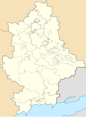
Mykolaivka (Kharzysk)
| Mykolaivka | ||
| Миколаївка | ||

|
|
|
| Basic data | ||
|---|---|---|
| Oblast : | Donetsk Oblast | |
| Rajon : | Kharzysk District | |
| Height : | 92 m | |
| Area : | Information is missing | |
| Residents : | 167 (2011) | |
| Postcodes : | 86783 | |
| Area code : | +380 6257 | |
| Geographic location : | 48 ° 0 ' N , 38 ° 15' E | |
| KOATUU : | 1415046500 | |
| Administrative structure : | 1 city, 1 village , 1 settlement | |
| Mayor : | Olexandr Susulja | |
| Address: | вул. Маяковського 2 86783 м. Зугрес |
|
| Statistical information | ||
|
|
||
Mykolaivka (Ukrainian Миколаївка ; Russian Николаевка / Nikolajewka ) is an urban-type settlement in eastern Ukraine in Donetsk Oblast with about 150 inhabitants.
The urban-type settlement is located in the southeast of the urban area of Kharzysk , about 8 kilometers from the city center of Kharzysk and 28 kilometers east of the Donetsk Oblast center on the railway line from Ilovaisk to Tores .
Administratively, the place belongs to the municipality of Charzysk and is in turn subordinate to the city council of Suhres together with a village and a settlement as well as the city of Suhres itself.
The place, which already existed in the 19th century, has had the status of an urban-type settlement since 1957, during the war in Ukraine the place was occupied by separatists from the Donetsk People's Republic in 2014 .
Individual evidence
- ↑ Военно-топографическая карта европейской России 1: 126 000 - XXVII 17 Артёмовка ( Memento of the original from October 6, 2016 in the Internet Archive ) Info: The archive link has been inserted automatically and has not yet been checked. Please check the original and archive link according to the instructions and then remove this notice.

