Tullner Strasse
| State road B19 in Austria | ||||||||||||||||||||||||||||||||||||||||||||||||||||||||||||||||||||||||||||||||||||||||||||||||||||||||||

|
||||||||||||||||||||||||||||||||||||||||||||||||||||||||||||||||||||||||||||||||||||||||||||||||||||||||||
| map | ||||||||||||||||||||||||||||||||||||||||||||||||||||||||||||||||||||||||||||||||||||||||||||||||||||||||||
| Basic data | ||||||||||||||||||||||||||||||||||||||||||||||||||||||||||||||||||||||||||||||||||||||||||||||||||||||||||
| Overall length: | 47 km | |||||||||||||||||||||||||||||||||||||||||||||||||||||||||||||||||||||||||||||||||||||||||||||||||||||||||
|
State : |
||||||||||||||||||||||||||||||||||||||||||||||||||||||||||||||||||||||||||||||||||||||||||||||||||||||||||
|
Course of the road
|
||||||||||||||||||||||||||||||||||||||||||||||||||||||||||||||||||||||||||||||||||||||||||||||||||||||||||
| State road B19a in Austria | |
| 19a | |
| map | |
| Basic data | |
| Overall length: | 0.9 km |
|
State : |
|
|
Course of the road
|
|
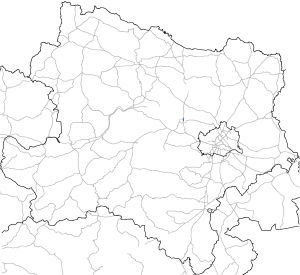
The Tulln road B19 is a country road B in Lower Austria and former federal highway . It leads from Altlengbach or St. Christophen via Tulln an der Donau and the Rosenbrücke , north of the Danube, to Göllersdorf .
On the section between St. Christophen and Tulln, the B19 was a transit route between the West Autobahn (A1) and the Stockerauer Schnellstraße (S5) until 2010. With the opening of the Danube Bridge Traismauer in November 2010, Tullner entered Wiener Straße (B1) Straße (B19) and Traismaurer Straße (B43) Passage bans for trucks over 3.5 tons in force to prevent transit traffic through the towns and to prevent toll refugees.
Branch line
The branch line B19a leads from the B19 north of the Danube over the Tulln Danube bridge to the city center of Tulln.
history
The Hainfeld -Göllersdorfer Straße belonged to the network of federal highways in Austria from January 1st, 1951 . In 2002 it was transferred to the state administration. The Altlengbach - Hainfeld section is now called L 119.
Individual evidence
| B19 | Like the other former federal highways, Tullner Strasse was part of the federal administration. Since April 1, 2002, it has been under state administration and continues to have the B in the number, but not the name Bundesstraße. |

