Federal road 499
| Bundesstrasse 499 in Germany | |

|
|
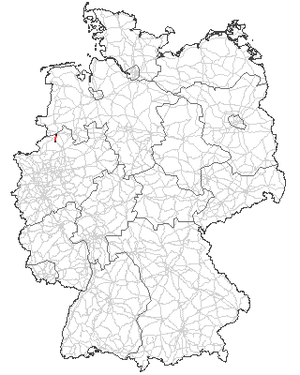
| map | |
| Basic data | |
| Operator: |
|
| Overall length: | 8 kilometers |
|
State : |
|
| Status: | graded to the state road |
| Beginning of the former B 499 in Neuenkirchen at the roundabout with the B 70 | |
|
Course of the road
|
|
The federal highway 499 (abbreviation: B 499) was eight kilometers an extremely short German federal highway in North Rhine-Westphalia . In 2016 it was downgraded and completely converted to a section of the North Rhine-Westphalian state road 580.
overview
- Length: eight kilometers
- Starting point: Neuenkirchen
- End point: Steinfurt
course
- Neuenkirchen (0.0 km) B 70
- Steinfurt (8 km) B 54
History / other
The federal highway 499 was set up on January 1st, 1967 to improve the network of federal highways. However, it was only a short cross-connection. Originally the B 499 ran from Wettringen to Burgsteinfurt. In 2005 a five kilometer long cycle path was built from Neuenkirchen to the Wettringen intersection to ensure the safety of school children in particular. In December 2013 the B 70 was completed as a bypass of Wettringen and the B 499 began at the B 70 roundabout in Neuenkirchen. This roundabout is located in the middle of the Münsterländer gravel belt , which is why the gabions , which form a four-sided N there, are filled with glacial debris.


